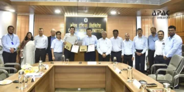
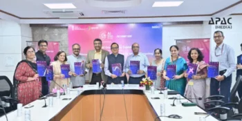
New Delhi: In a major stride towards strengthening India’s disaster preparedness, Union Jal Shakti Minister C. R. Patil launched C-FLOOD, a Unified Inundation Forecasting System.
Developed through a collaborative effort by C-DAC, the Central Water Commission (CWC), and the National Remote Sensing Centre (NRSC), C-FLOOD is an advanced, web-based platform aimed at providing two-day advance flood forecasts down to the village level.
Objectives of the Project
The initiative, part of the National Supercomputing Mission (NSM), is designed to significantly enhance the country’s capacity to respond to flood-related emergencies. It leverages advanced technologies, including 2-D hydrodynamic modeling and high-performance computing (HPC) at C-DAC Pune, to simulate real-time flood scenarios. Currently, the system covers the Mahanadi, Godavari, and Tapi river basins, with plans to expand its reach to more river systems in future phases.
Features of C-FLOOD
C-FLOOD integrates flood modeling data from national and regional agencies and provides actionable insights in the form of inundation maps and water level predictions. This unified platform serves as a vital decision-support tool for national and state disaster management authorities, enabling better planning, early evacuation, and minimization of flood-induced damage.
The flood simulation for the Mahanadi basin is conducted using HPC at C-DAC, while data for the Godavari and Tapi basins come from models developed by NRSC under the National Hydrology Project (NHP).
Significance of the Initiative
C-FLOOD stands as a testament to India’s growing capabilities in using scientific and technological innovation for climate resilience. It not only showcases successful inter-agency collaboration but also marks a significant move towards digital governance and proactive disaster risk reduction.


Discussion about this post